The second round of February cold snaps in two years hit Denton County with lows in the teens at least five times during the month, pulling average temperatures sharply lower than normal. Despite two winter storms, sharp temperature changes and even severe weather, our monthly precipitation was persistently weak.
February started off mild with a high of 72 and a low of 52, but the first of two major cold fronts swept through with rain, sleet and snow, dropping temperatures into the upper 20’s within 24 hours, and into the teens after that. Our coldest high temperature for the month was 28 degrees recorded on February 3rd, followed by our coldest low temperature of 14 degrees on the 5th.
A warming trend followed, returning to 60’s and 70’s through mid-month. A minor cooling trend nudged highs and lows toward their seasonal norms, with a sharply warmer day on the 21st when Denton hit 82 degrees.
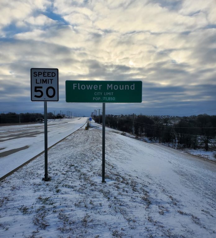
Then, the bottom fell out. We had brief rains, then patchy sleet and snow with highs in the 20’s and 30’s on the 24th and 25th. In all, Denton experienced a temperature range of 68 degrees during February–something more likely during March–which has a 75-degree temperature range.
Rainfall was disappointing. Again. Denton Enterprise recorded .52” on February 2nd and 3rd. There was nothing again until .04” of freezing drizzle and a little sleet on the 17th, followed by .74” of freezing rain, sleet and a little snow on the 23rd and 24th of February during the winter storm warning.
In all, Denton Enterprise recorded 1.32” of precipitation during the month, well below our normal February rainfall quota of 2.16 inches. Combined with January’s .02” of an inch, Denton has received 1.35” so far in 2022, which is far below the two-month normal precipitation quota of 4.1 inches.
For the first time in months, Denton County reported severe weather on Monday, February 21st. Golf ball hail, (1.75”) was observed along Highway 380 near Krum and later at Hackberry. No tornadoes were reported, although several severe storms that formed a broken squall line on the night of the 21stproduced meso-cyclone and tornado alerts on radar. They were more likely downburst winds on the leading edge of the line of storms.
And really, there is little difference between an EF-0 or EF-1 tornado and a downburst. Wind speeds are nearly the same, but the pattern of wind damage is different. With a small tornado, there’s usually a damage trail left in an actual track, while a downburst hits a single area with outward wind damage in many directions.
Looking ahead, the Climate Prediction Center expects most of Texas to be warmer than normal with near-normal precipitation during March, which is about 3.3 inches of rain. If verified, normal rainfall in March might indicate the end of the La Nina of cooler-than-normal ocean temperatures in the central Pacific and more normal rainfall amounts through the coming year.
Brad Barton is the Meteorologist for WBAP 820 and 570 KLIF. Follow on twitter @BradBartonDFW.


