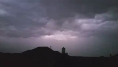
It looks like another active week weather-wise with the potential for storms each day.
A dryline will become active west of North Texas with thunderstorms developing along and east of it. The storms will generally move east-southeast toward North Texas approaching the area during the late evening hours.
There is a chance of thunderstorms on Sunday during the afternoon. Some storms may become severe with large hail and damaging wind.
Some severe weather is expected each day through Thursday.
Check the latest forecast and follow us on Twitter for updates.
Quiet today…scattered storms return Sunday through much of next week. Some severe. #txwx #ctxwx pic.twitter.com/NBG6WyV3Gz
— NWS Fort Worth (@NWSFortWorth) May 20, 2016


